
Lake Ridge ZIP Code Coverage
The official Prince William County ZIP map, dated February 16, 2024, names 22192 as “WOODBRIDGE, LAKE RIDGE.” That is the useful starting ZIP for Lake Ridge postal questions. The same county map also places several nearby locality labels around it. They help interpret older documents, a mailing address, or an address near the CDP edge, but they do not establish that a parcel belongs inside Lake Ridge. USPS should settle delivery details for an individual address.
| ZIP | Areas Covered | Post Office | Notes |
|---|---|---|---|
| 22192 | Woodbridge, Lake Ridge | Woodbridge mailing locality | The county map’s named Lake Ridge ZIP; its boundary is not the CDP or parcel boundary. |
| 22191 | Woodbridge | Woodbridge | Nearby county-map ZIP. Check GIS and CDP geography before drawing a Lake Ridge conclusion. |
| 22193 | Woodbridge, Dale City | Woodbridge | Nearby county-map ZIP, not evidence of Lake Ridge inclusion. |
| 22125 | Occoquan | Occoquan | Nearby locality context. Historic materials can use Occoquan rather than Lake Ridge. |
| 22025 | Dumfries, Montclair | Dumfries | Nearby Prince William County ZIP/locality pairing. |
| 22026 | Dumfries, Southbridge | Dumfries | Nearby Prince William County ZIP/locality pairing. |
No separate Lake Ridge post-office station, PO-box-only ZIP, unique ZIP, or special local ZIP was confirmed in the inspected county and USPS material. The county map is a service reference, not a Census boundary file. Use it with a live postal lookup and the county map rather than treating a familiar locality label as a legal or parcel description.
Lake Ridge and Woodbridge Labels
Lake Ridge is a Census-designated place, not an incorporated municipality. Census uses the Lake Ridge CDP and FIPS 5143432 for statistical geography. Woodbridge is the mailing locality that often appears in addresses. Those labels can coexist on the same record without meaning the same thing. A county recorder, courthouse, assessment record, or GIS result is routed through Prince William County, while the mailing city remains useful for postal delivery.
That distinction is an important Lake Ridge ZIP code directory check. A Woodbridge mailing address alone does not establish that an address lies in the Lake Ridge CDP. Conversely, the map label for 22192 does not make every parcel with a related locality label part of one association, subdivision, or Census area. Keep the postal city, CDP, GPIN, and subdivision fields in separate notes.
For the Census view, Lake Ridge CDP QuickFacts presents the statistical profile associated with the CDP rather than a postal-delivery list.
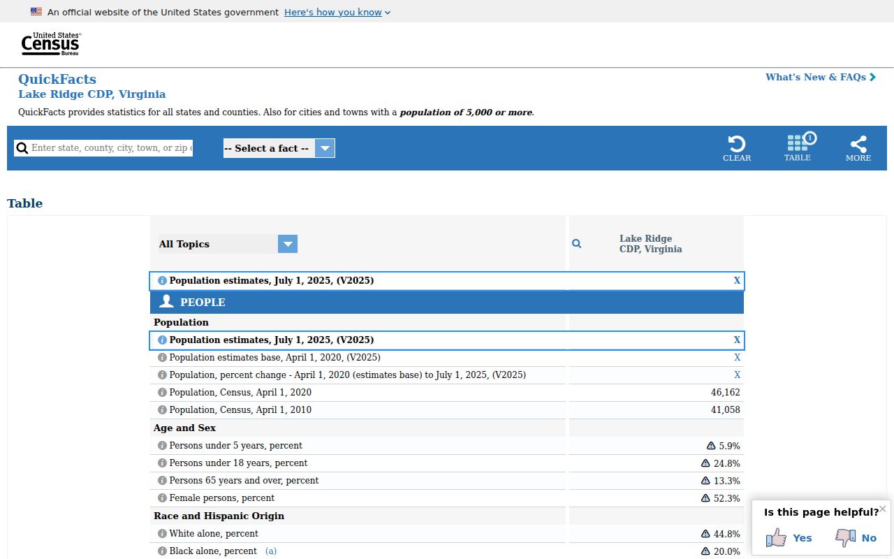
The profile supports the CDP label. It does not redraw a ZIP route, identify an individual parcel, or confirm a person at an address.
Lake Ridge Postal Geography
Begin a postal-address question with the USPS ZIP Lookup. Its By Address, By City and State, and Cities by ZIP modes can normalize an address or return a postal city-and-ZIP result. USPS warns that a ZIP result does not confirm a person or organization at an address. That warning matters when moving from a postal label into land, court, or association research.
For 22192, record the exact address result, the mailing locality, and the date checked. Then compare the result with the county map and parcel data. A historic source may call the area Woodbridge, Occoquan, or another nearby locality, particularly before Lake Ridge development began in 1969. The label is a search clue, not a substitute for the deed’s legal description or a current parcel record.
Note: The available research did not document a Lake Ridge ZIP split, realignment date, or a dedicated station name.
Lake Ridge Parcel Keys
A ZIP routes mail. A GPIN routes a county parcel. Prince William County uses the GPIN as a unique parcel identifier based on the parcel centroid, and County Mapper accepts it in the form xxxx-xx-xxxx. A GPIN does not contain subdivision information. Boundary changes can create a new GPIN, and one GPIN can cover disjoined polygons, so it should be recorded with the address, legal description, and map date.
Use the county’s GPIN guidance and the parcel result together. A recorded plat can supply lot, block, phase, section, or easement information that a postal route cannot. If older documents use a different road label, the legal description and GPIN lineage are safer bridges than an assumption about a current postal name.
- ZIP
- A postal routing key used to deliver mail. It is not a city line, a parcel boundary, or a person record.
- ZIP+4
- An added four-digit delivery segment used with a ZIP to narrow mail sorting for an address or delivery point.
- PO-box ZIP
- A postal ZIP assigned for post-office boxes. No Lake Ridge-only PO-box ZIP was confirmed in the inspected material.
- Unique ZIP
- A ZIP assigned to a single institution or large recipient. No dedicated Lake Ridge unique ZIP was confirmed.
- Carrier route
- A postal delivery grouping. It is not a Census, parcel, or neighborhood boundary.
County Mapper ZIP Attributes
Prince William County Mapper is the county’s informational map for address, intersection, and GPIN searches. Its parcel result can link the location to street components, a ZIP attribute, subdivision name, phase, section, block, deed references, acreage, and other mapped fields. The viewer’s aerials and parcel lines support geographic checking, but the county cautions that aerials may not align exactly and that parcel boundaries are corrected as reliable data arrives.
The public Land Records REST layer exposes the mapped ZIP and related parcel attributes. It is a GIS row, not a certified deed. Follow a GPIN to Real Estate Assessments or the Circuit Clerk when the task requires an ownership or recorded-instrument check.
The linked County Mapper parcel layer shows the type of geographic fields available for Lake Ridge ZIP code checks.
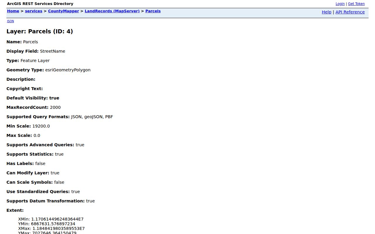
Its ZIP, street, subdivision, and deed-reference fields can cross-check a location, but they should not be read as proof of present occupancy.
Lake Ridge ZIP Search Steps
A Lake Ridge ZIP code directory can narrow a search to the right postal area before the records question becomes more specific. The official tools do not provide a broad public ZIP-to-resident list. Instead, use the postal result to locate the parcel, then use the parcel fields to choose the appropriate county record. This sequence avoids mistaking a map attribute for a person record.
- Validate the full address in USPS ZIP Lookup and retain the returned postal city and ZIP.
- Search County Mapper by address, using the required street name and any available number, street type, or unit.
- Record the GPIN, street components, ZIP, subdivision fields, and map date from the identified parcel.
- Use the GPIN or address in PublicAccessNow for assessment context, then use a recorded-instrument route if a deed question remains.
Once a ZIP result is narrowed to a named road, the Lake Ridge By Street directory is the more suitable route for the address-keyed record chain. ZIP filtering helps begin the location check; it does not replace a street or parcel search.
| Official search | Supported ZIP-related input or field | What it returns or limits |
|---|---|---|
| USPS | By Address, By City and State, or Cities by ZIP Code | Postal ZIP/city result only, not a person or organization confirmation. |
| County Mapper | Address, street, GPIN, and parcel ZIP attributes | Map and parcel results. No dedicated ZIP-wide resident search was observed. |
| GIS REST OpenData | ZipCode parcel field with advanced query capability | Parcel rows matching a ZIP query, subject to service limits, not a person list. |
| PublicAccessNow | Address, GPIN/account, and sales search tabs | Published materials did not expose a broad ZIP-only control or an owner-name search. |
| Virginia voter portal | Locality and voter-authentication fields | Authorized status response, not public ZIP browsing. |
USPS and Census Checks
Use USPS for postal delivery, County Mapper for roads and parcels, and Census geography for the Lake Ridge CDP. The Census TIGERweb CDP file is the appropriate reference for official CDP geometry and area questions. It is not a parcel viewer and does not define a ZIP route.
The linked TIGERweb view depicts the Lake Ridge CDP geography used for Census purposes.
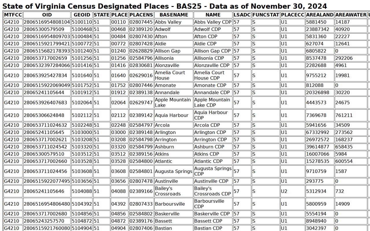
Compare that statistical boundary with the county ZIP map and the individual parcel, rather than expecting their edges to match.
Lake Ridge ZIP Boundaries
Postal ZIP boundaries, CDP geometry, association areas, subdivisions, and parcel lines answer different questions. Lake Ridge’s planned-community setting makes that especially clear: association common ground and governance areas can span a different footprint from a parcel or postal route. The county map identifies a local delivery label. The Census file defines a statistical place. A deed or plat identifies the parcel and legal description.
For a defined county record request, Virginia FOIA requires reasonable specificity and existing records. A request should identify a record series, date range, geography, and fields rather than seek undefined information about everyone attached to a ZIP.
Lake Ridge Record Geography
The practical Lake Ridge ZIP code directory workflow preserves four separate keys: the USPS-normalized address, the county GPIN, the Census CDP label, and the deed or plat legal description. A property record can add a mailing address, but that field can change on a different schedule from recordation, assessment, or GIS edits. Each source has a distinct access route, including postal lookup, free county mapping, assessment search, GIS REST access, and Circuit Clerk land-record research.
That separation also prevents false matches. A ZIP narrows delivery geography. A GPIN identifies mapped land. A legal description carries land-record continuity. Census geography supplies a statistical frame. None of those fields alone answers every record question, but together they provide a careful way to move from Lake Ridge postal language to the correct public office.
Note: Save the source date with each map or parcel result because county mapping, assessment, and recorded instruments update on different schedules.