
Lake Ridge Block Sources
Lake Ridge neighbors are best researched as a small, defined geographic question. County Mapper can identify a parcel, its geometry, and adjoining parcels. Assessment and land-record channels can then answer distinct owner or instrument questions. Association and civic pages provide organization-level context only. Virginia’s voter status system is not a map of everyone nearby, and historical directories are dated sources that must be read with their volume and year.
| Source | What It Shows About a Block | Access |
|---|---|---|
| County Mapper parcel layer | Parcel geometry, street frontage, GPIN, layers, aerial imagery, and adjoining parcels. | Free public informational map. |
| List Adjoiners | Parcel records adjoining the selected parcel. | Free County Mapper result action, not a resident roster. |
| GIS POA layer | Association polygon and POAName field. | Free REST layer, with no member list and possible update lag. |
| County HOA database | Association names, addresses, and voluntary contacts. | Free public search, not a household list. |
| Voter status or file | Authorized individual status or statute-limited file fields. | Self or authorized route, not block browsing. |
| Historical criss-cross directory | Address-to-name linkage for a dated volume. | RELIC or on-site access; historical and incomplete. |
These sources do not all show the same thing. A mapped parcel is public geography. A deed names parties to an instrument. An assessment display can carry an owner or mailing field. A historical directory records an entry for its publication date. None should be expanded into a claim about every person connected to the block.
Lake Ridge Adjoiner Workflow
The County Mapper List Adjoiners action is the official Lake Ridge neighbor-research starting point. It returns parcels around the selected parcel, not the people who may be associated with them. Preserve the selected parcel separately so an adjacent result does not replace the original location. The method is strongest when the address has first been normalized with USPS and the record date is kept with the map result.
- Open County Mapper and search a validated Lake Ridge address or GPIN.
- In the result list, choose
Zoom to IdentifiedorZoom to Record, then selectList Adjoiners. - Use
HighlightandMore Infoto keep the selected parcel distinct from each adjoining parcel. - For each adjoining result, record GPIN, street and ZIP fields, subdivision, phase, section, block, acreage, deed book or page, and recorded date from the GIS layer.
- Follow each GPIN to Real Estate Assessments and the Circuit Clerk separately. For a full named-street chain, use the Lake Ridge By Street directory rather than treating the adjoiner result as the final record.
For a larger segment, use partial street-name search, pan and zoom, the identify rectangle or line tools, or the parcel layer. Do not call a visual cluster a legal block unless a recorded plat supports that label. Measure tools explain map distance only. County GIS says the viewer is informational, not a survey, and aerials may not align exactly.
Lake Ridge Parcel Neighbors
County Mapper accepts a required street name with optional street number, street type, and unit. It also supports intersection and GPIN searches. Its More Info action can return parcel-linked schools, a voting precinct, a polling place, and other overlays. Those are geographic overlays. They do not identify nearby voters or establish a person’s present connection to a parcel.
The public GIS parcel fields include GPIN, parcel type, acreage, street components, ZIP, subdivision name, landbay, phase, section, block, deed instrument, deed book, deed page, recorded date, last-edit date, and use description. The recorded date and GIS last-edit date are different fields. A REST result is useful for cross-checking a map, but it is not a certified deed and should not replace the Circuit Clerk record.
The county’s Parcel History Tree illustrates how a modern GPIN can connect to parent or child parcels after a subdivision or boundary change.
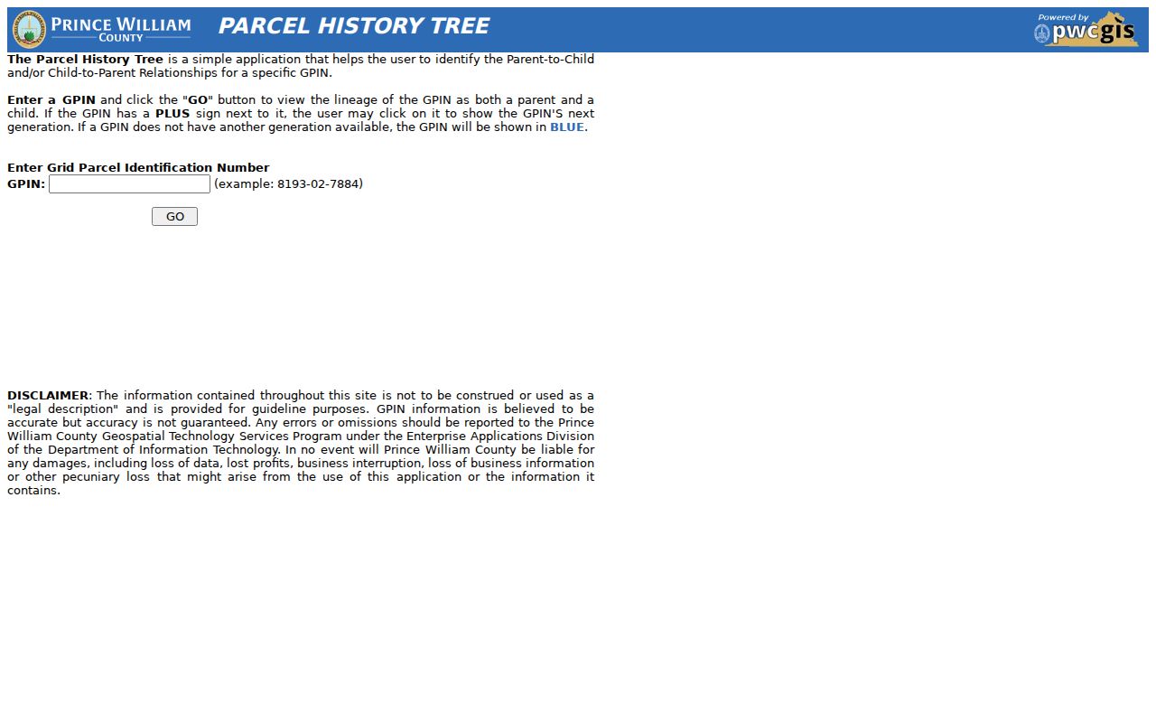
That lineage is more reliable for land continuity than guessing from a current road name, especially where an older record uses different locality vocabulary.
Lake Ridge Association Layers
Association information adds a different kind of Lake Ridge neighborhood context. Lake Ridge Parks and Recreation Association is the planned-community association. The county HOA and COA database is a voluntary public contact resource. The GIS POA layer supplies association geometry and a name field. None of those sources is a complete list of private residents, and an association boundary should not be substituted for a parcel boundary.
| Association source | Geographic role | Public access and limit |
|---|---|---|
| Lake Ridge Parks and Recreation Association | Master planned-community association. | Public about, staff, board, document, and facility pages. No public all-member roster was located. |
| Prince William HOA/COA database | Countywide association contact source. | Voluntary association names and contacts, not a member directory. |
| GIS POA layer | Mapped property-owner-association polygons. | POAName and geometry only. Data can be outdated and includes no members. |
| LOCCA | Civic umbrella for Lake Ridge, Occoquan, and Coles. | Public membership/contact route, useful for civic context rather than a roster. |
The Prince William HOA and COA search is the county’s voluntary association-contact database.
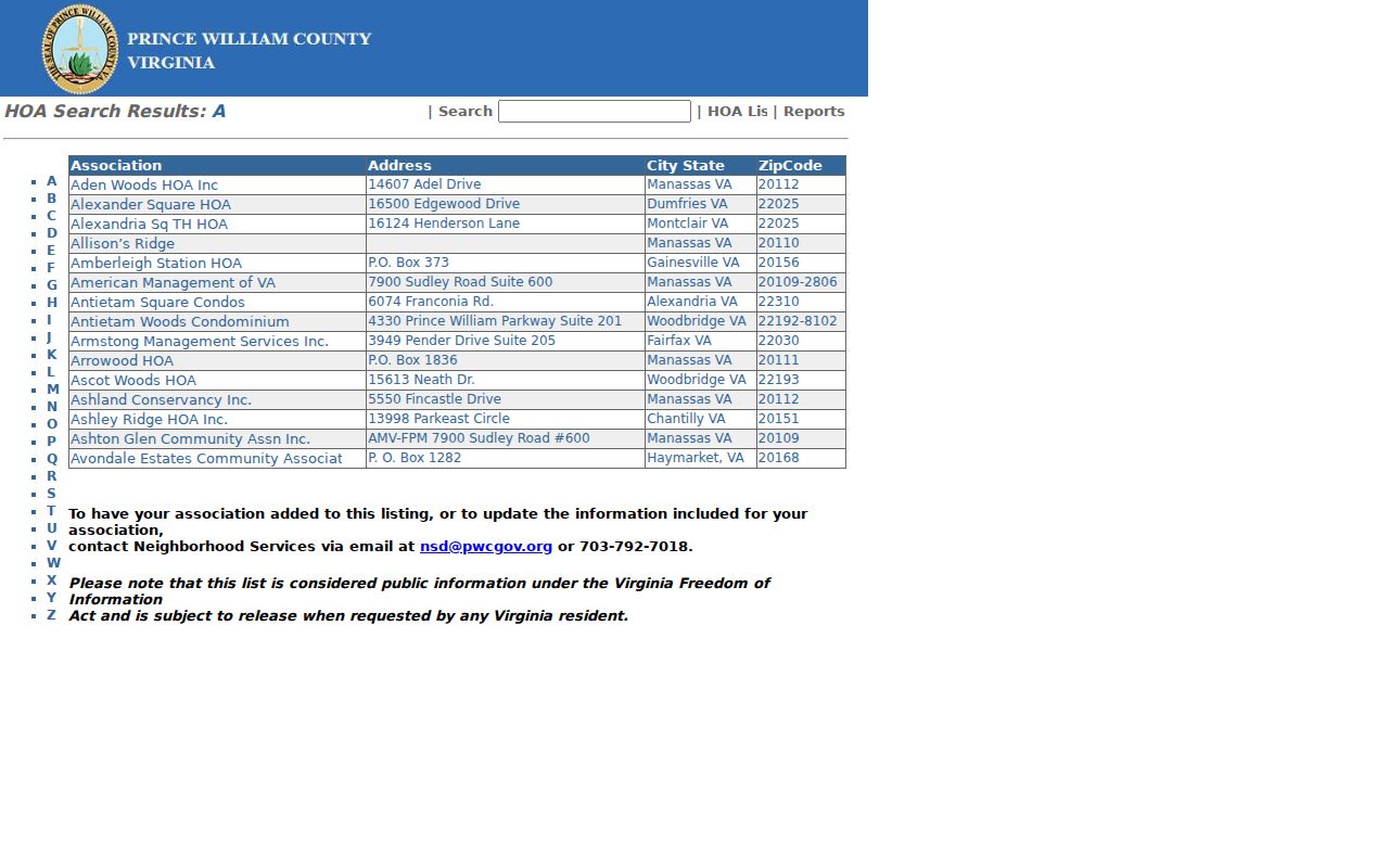
It can help locate an association contact, but its voluntary entries do not establish association membership or a household connection.
The public County land-development POA layer shows the mapped association layer used for geographic context.
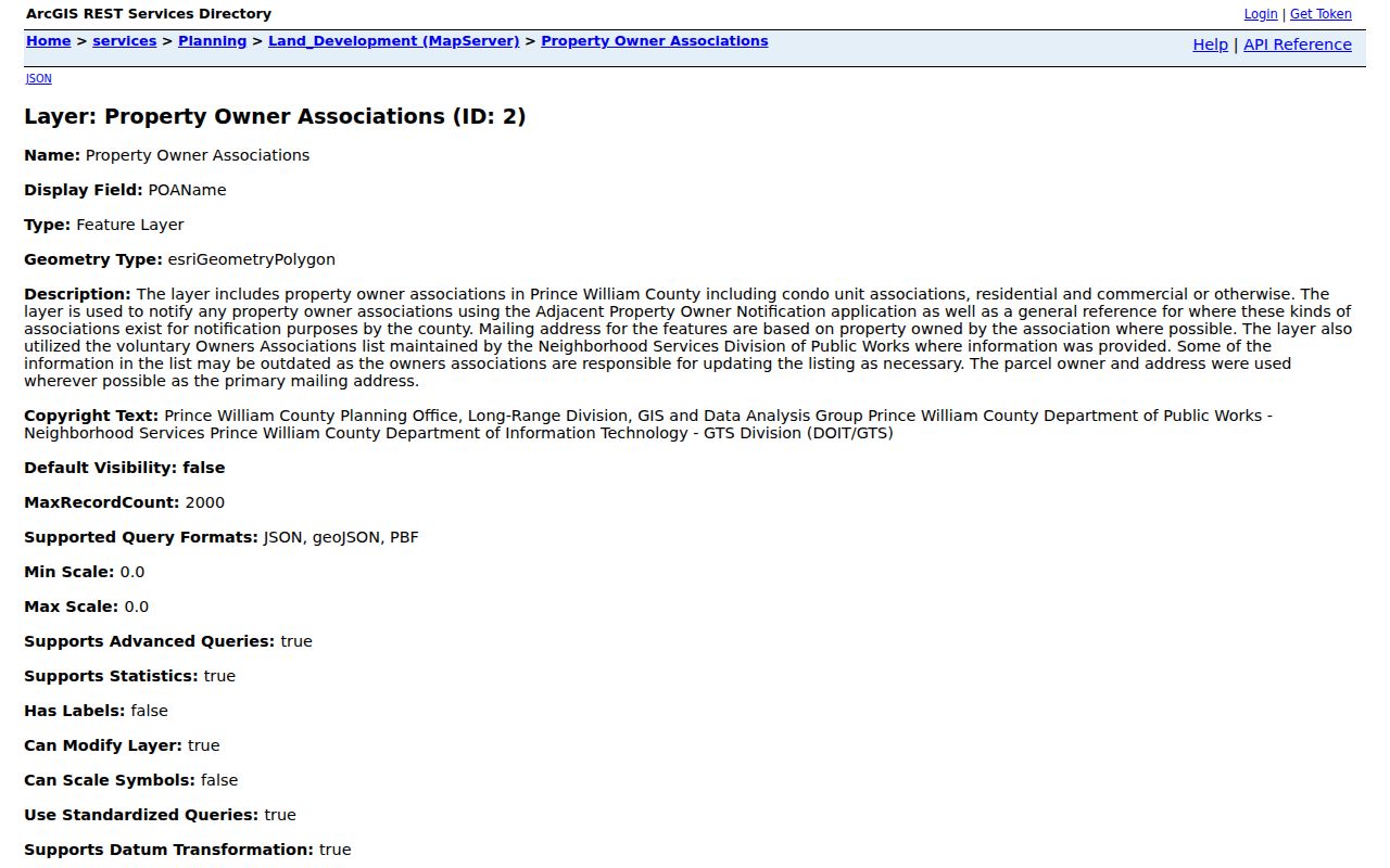
Use that polygon with the selected parcel and record date, not as a substitute for association records or a list of people.
Lake Ridge Community Sources
Community pages can explain the organizations around a Lake Ridge block. Lake Ridge Parks and Recreation Association publishes governance, staff, facilities, documents, and common-property history. The association dates community development to 1969 and the recorded declaration to March 29, 1972. Its reported common-ground acreage and property-unit figures describe association administration, not the Census CDP or a count of people at an address.
The linked LRPRA overview is an organization-level source for Lake Ridge neighborhood context.
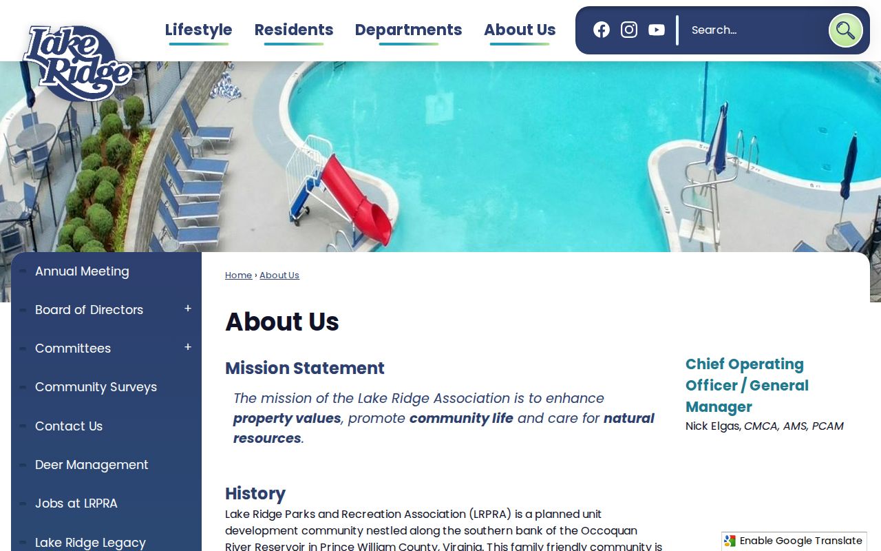
Its public materials can place a parcel within a community setting, but they do not support a block-by-block resident claim.
The LRPRA Board of Directors page is another public association source.
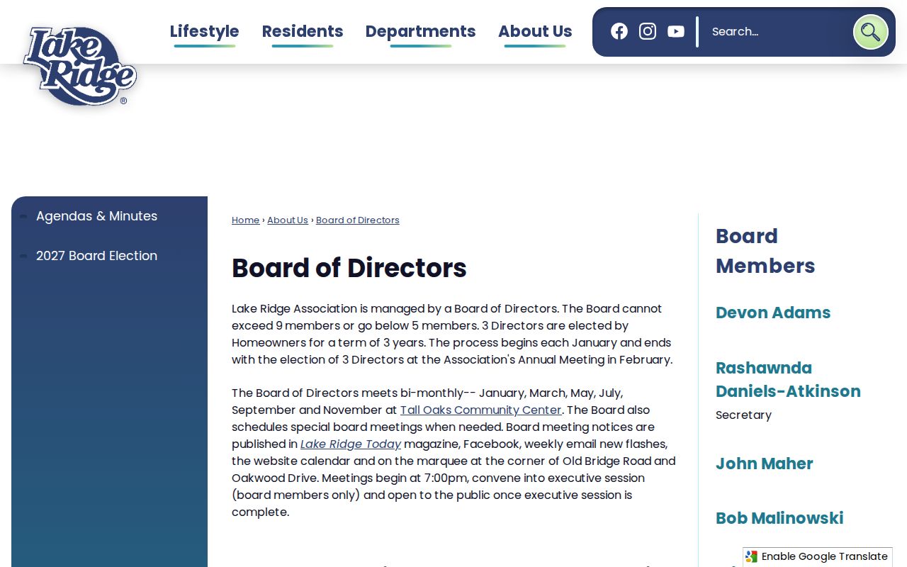
A named board or staff page identifies an organizational role as published by the association, not the surrounding households.
LOCCA’s membership page provides a civic contact route for the Lake Ridge, Occoquan, and Coles area.
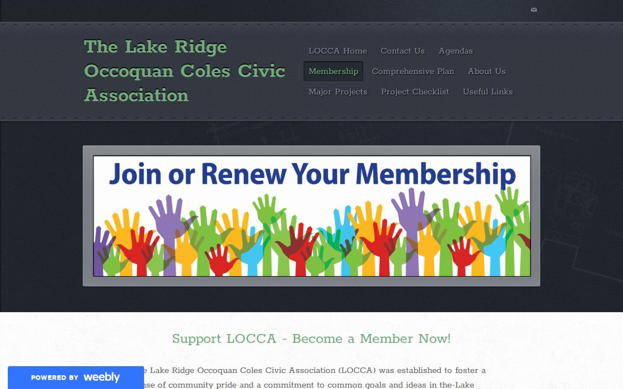
Its membership and contact material is useful for neighborhood-history or planning context, not for creating a neighborhood roster.
Note: No official public congregation, block-watch, or club roster for Lake Ridge was located in the county and library sources inspected.
Lake Ridge Voter Limits
The Virginia Citizen Portal is a self-service status tool that requires certification. It is not a Lake Ridge block-browse feature. It can return authorized registration status, district, polling, and voting-history information. Public voter-list releases are governed by Va. Code §24.2-405, including recipient and purpose limits.
County Mapper’s precinct and polling-place overlay describes the geography connected to a parcel. It does not name voters on nearby parcels. Protected voters and addresses covered by the Virginia Address Confidentiality Program or protective-order provisions must be withheld or substituted. Use an election office procedure for the limited request route, and do not convert precinct geography into a list of Lake Ridge neighbors.
Lake Ridge Neighbor Categories
Official records and commercial neighbor-lookup categories serve different purposes. Official sources identify the record type, public keeper, and access limits. Commercial products can combine address-history and public-record fragments, but the research notes that their results may be stale, merged, or incomplete. Neither category establishes who is currently at every address, and any material claim should be checked against the responsible county or state source.
| Official public records | Commercial neighbor-lookup category |
|---|---|
| County Mapper identifies parcels, geography, and adjoining parcel records with stated map limits. | May combine fragments from multiple dates and sources, with possible stale or merged results. |
| Assessment and Circuit Clerk channels identify the keeper and record type for a parcel or instrument. | Does not replace the source record, its date, or its access rule. |
| Association pages identify public organizational contacts and context. | Should not be used to infer member status or a person’s current address. |
When an official result appears incomplete, a defined Prince William FOIA request can seek an existing record series with a date range, geography, and fields. FOIA does not require the county to create a broad compilation about everyone around an address.
Lake Ridge Block History
Older Lake Ridge records often need a different locality and time frame. The planned community began in 1969, and its declaration was recorded in 1972. A current road or parcel may not appear under the same name in earlier sources. For historic context, use the 1972 Prince William street map, 1962 map layers, aerial imagery, recorded plats, and dated directory material. The 1937 county aerial imagery predates the community, while later GIS aerial years show later changes.
Historic Prince William provides a 1972 street map, the Peg Williams Lake Ridge diary for 1975-1987, and 1970s images. RELIC holds local history materials, maps, directories, and newspapers. Those sources can explain an earlier tract or street, but a dated directory entry remains a historical connection rather than a current-neighbor statement.
Lake Ridge Neighbor Privacy
County Mapper does not supply household members, protected voters, utility customers, delivery data, unlisted telephone details, or other non-public personal information. A public owner or mailing field and a historical directory entry cannot be expanded into a complete account of who is associated with an address. Public records are field- and purpose-specific, so an open deed image does not open protected voter, court, DMV, or address-confidentiality data.
The Virginia Address Confidentiality Program can substitute an address and protect the actual address and phone for eligible participants. Protective-order law also restricts disclosure of a protected person’s residential address and phone in specified circumstances. A missing or substituted address can reflect lawful protection, not an error to work around.